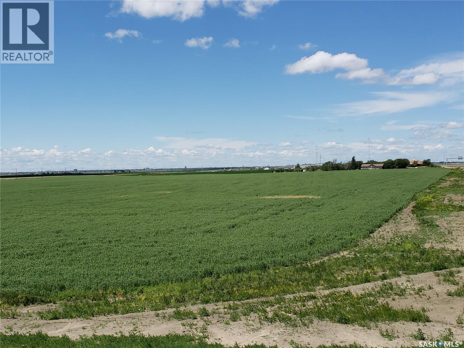
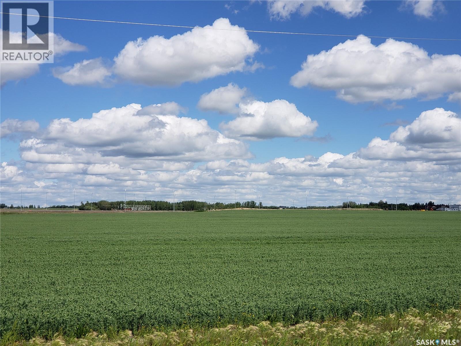
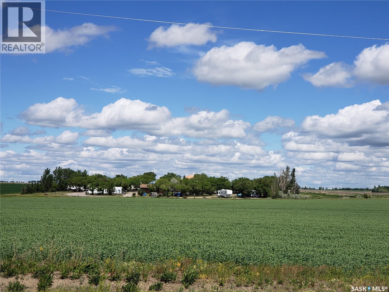
Land
Leonard Acreage
Edenwold Rm No.158, SK
S0G 3Z0
| Listed By | RE/MAX Crown Real Estate |
|---|---|
| Data Provided By | Saskatchewan REALTORS® Association |
| MLS® Listing Number | SK029286 |
| Last Updated | Mar 13, 2026 |
| Property Type |
Land
More like this: |
|---|
Interested in obtaining the full price history for this property?
Contact us!Contact us! Our real estate professionals would be happy to provide a complete listing history with historical sold prices and dates.
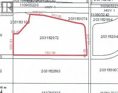
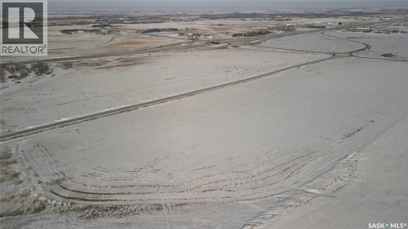
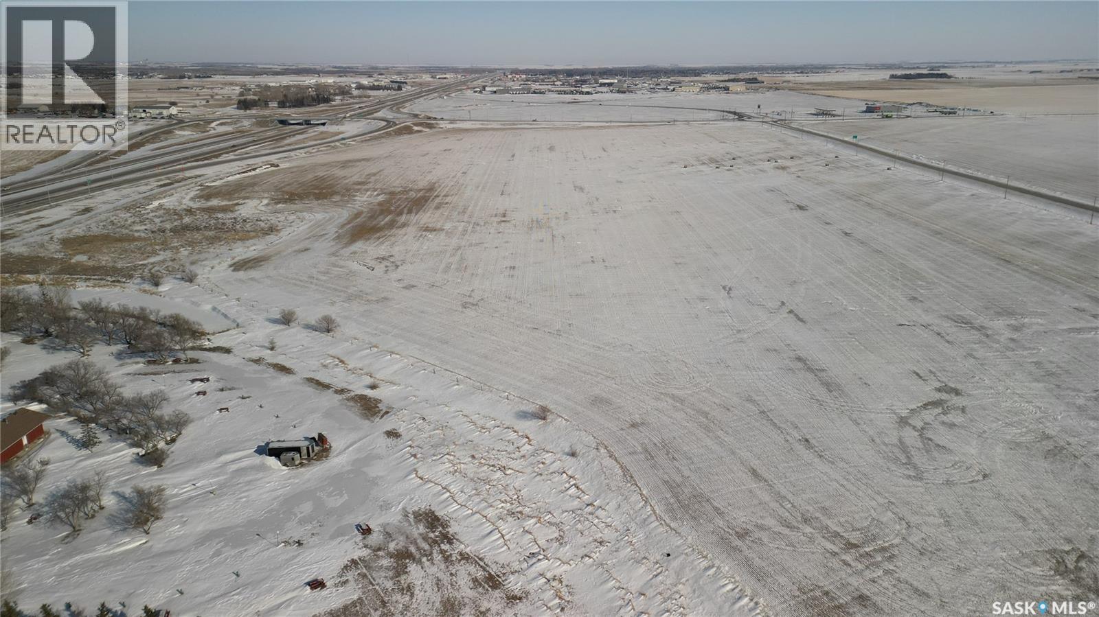
| Features | Irregular lot size, Rolling, No bush |
|---|---|
| Listing Contract Date | 2026-02-26 |
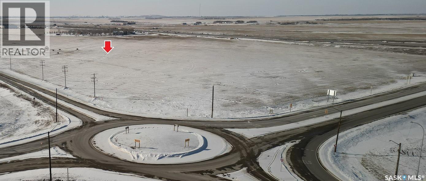
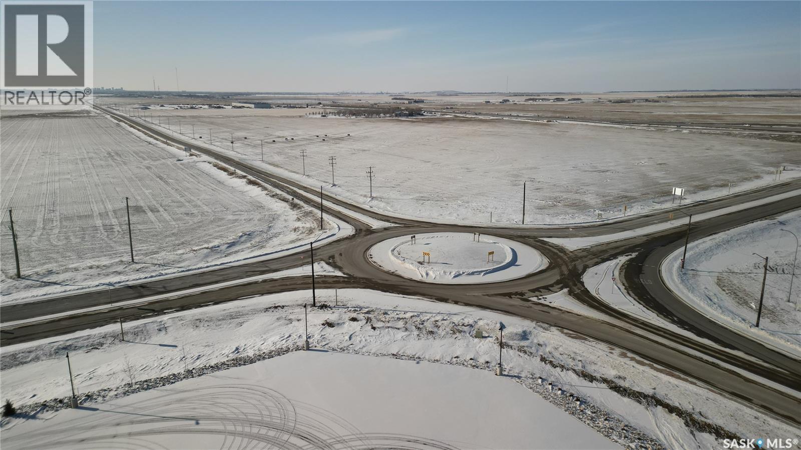
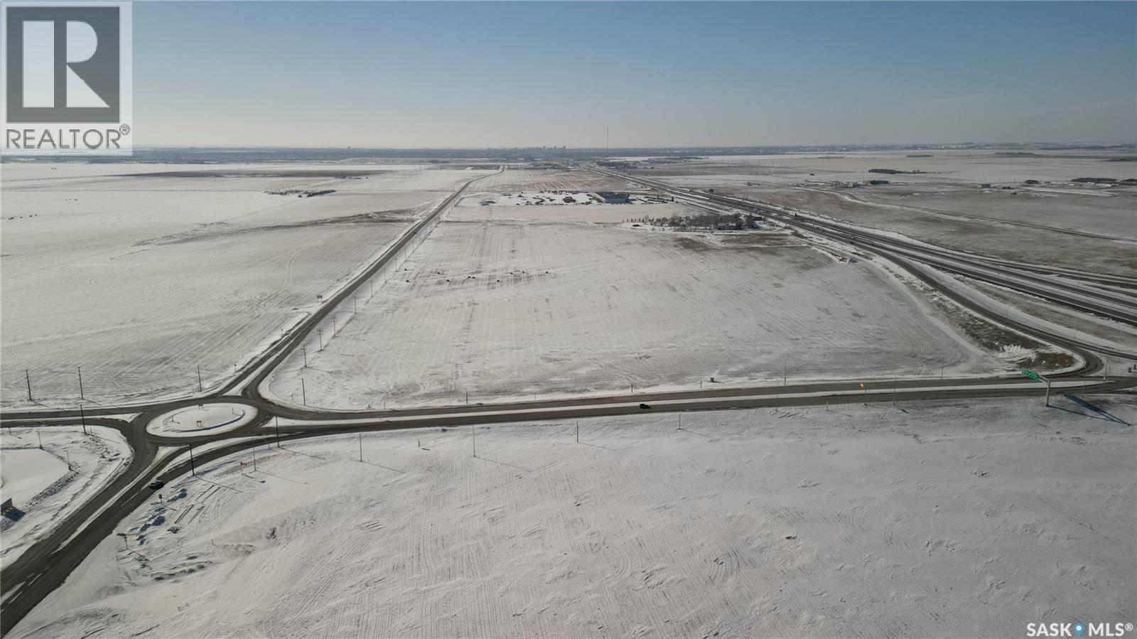
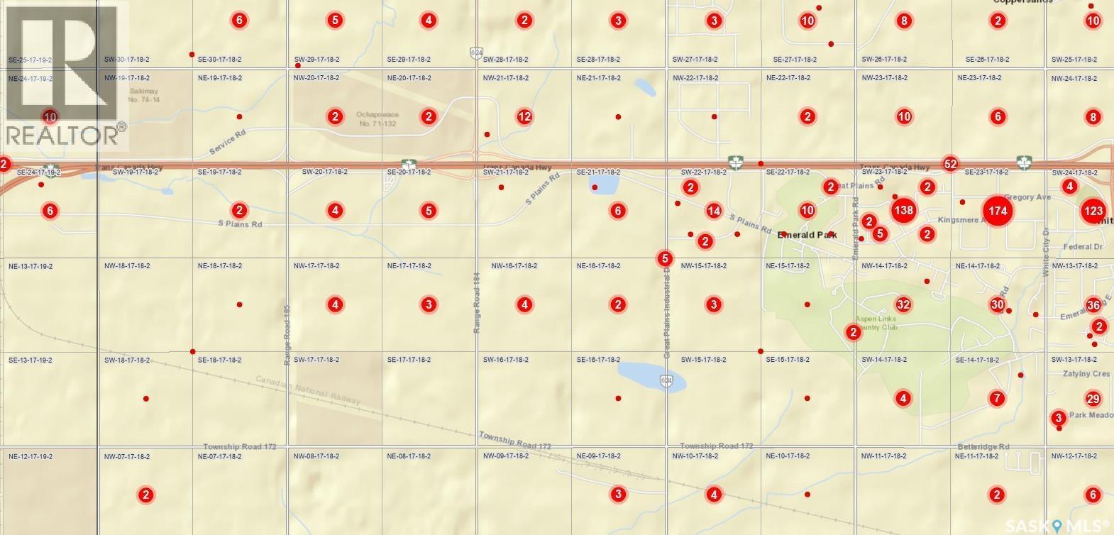
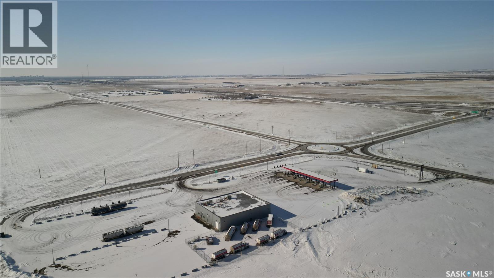
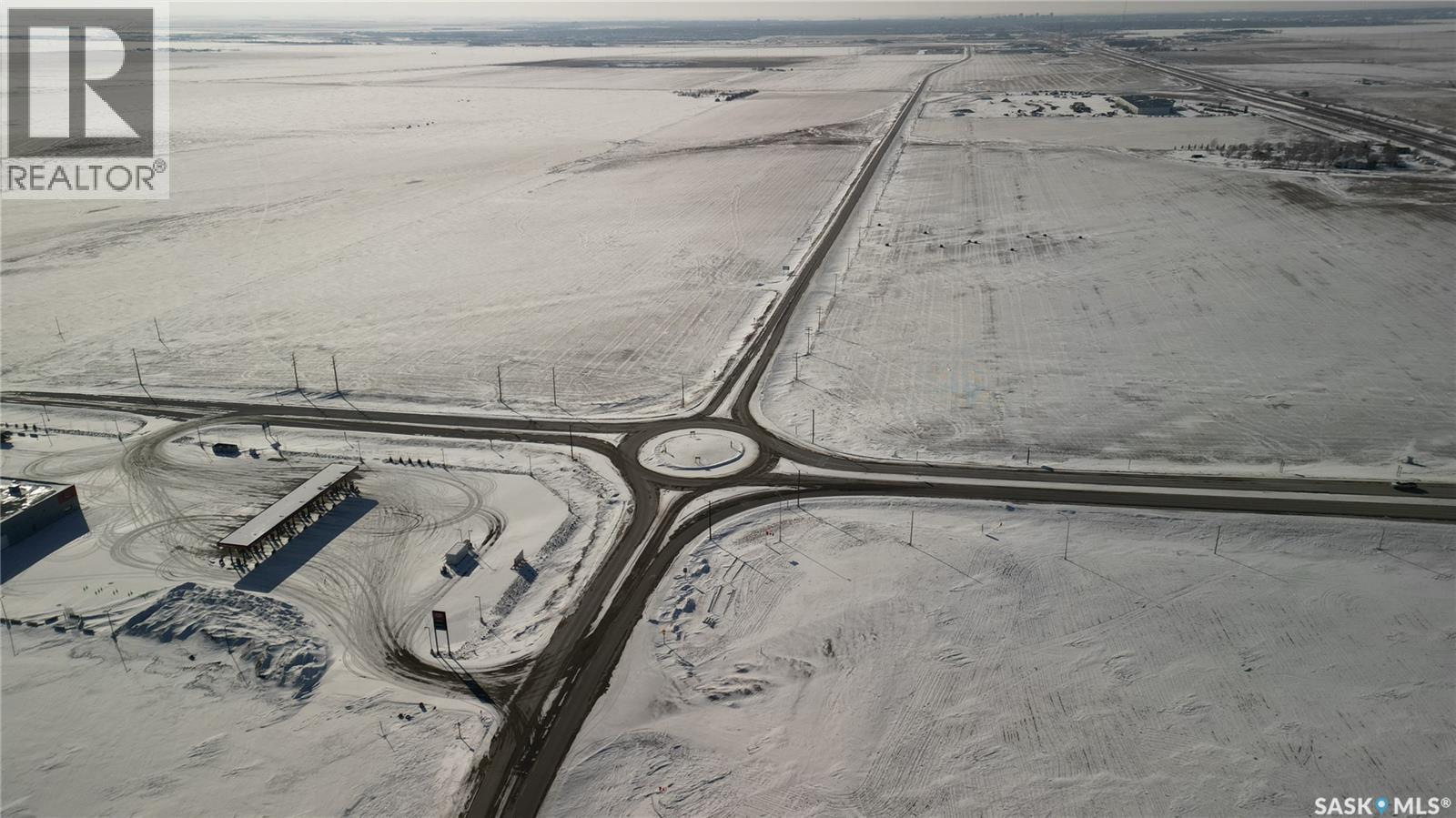
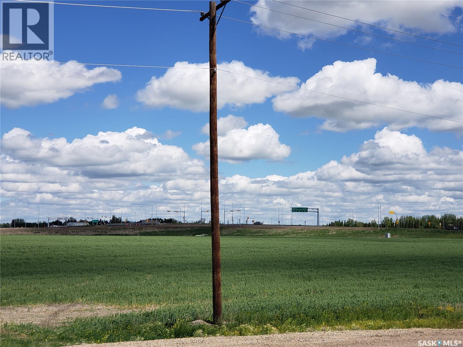
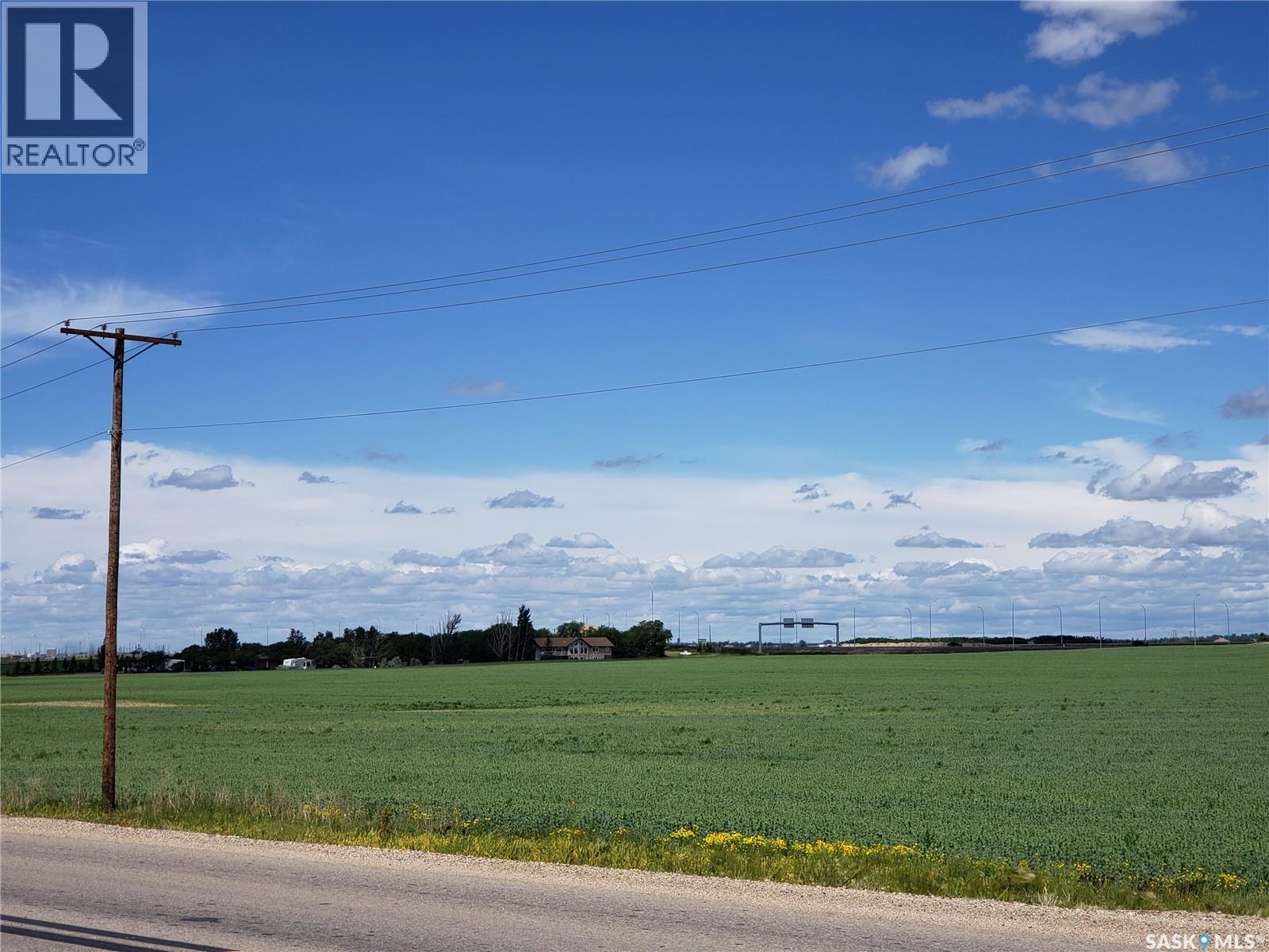
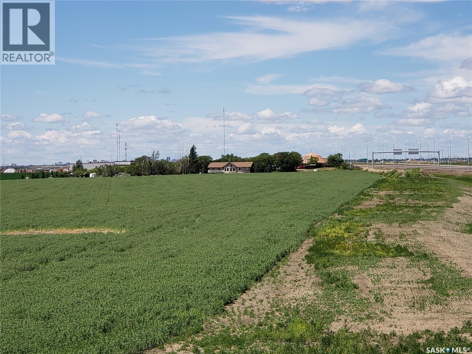
| Location Description | Located next to the Pilot Butte Diamond Interchange by the Round-About-Traffic Circle |
| Ownership Type | Freehold |
| Property Type | Vacant Land |
| Transaction Type | For sale |
| Type | Unknown |
|---|
| Total Size | 68.46 acres |
|---|---|
| Acreage | Yes |
| Size of Irregular Land | 68.46 |
The information contained on this site is based in whole or in part on information that is provided under copyright by the Toronto Regional Real Estate Board (TRREB) or by members of The Canadian Real Estate Association (CREA), who are responsible for its accuracy. TRREB and CREA reproduce and distribute this information as a service for their members and assume no responsibility for its accuracy. All information displayed is believed to be accurate but is not guaranteed and should be independently verified. No warranties or representations of any kind are made with respect to the accuracy of such information.
The information provided herein must only be used by consumers that have a bona fide interest in the purchase, sale, or lease of real estate and may not be used for any commercial purpose or any other purpose.
FREE ESTIMATES ARE COMING
Reserve Your Spot To Be Notified
Coming soon to select cities
in North America
(We'll never share your details)