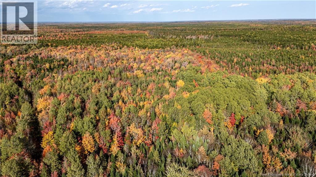
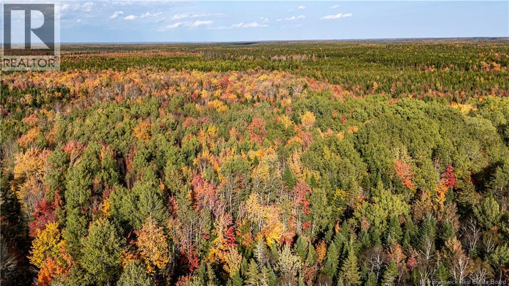
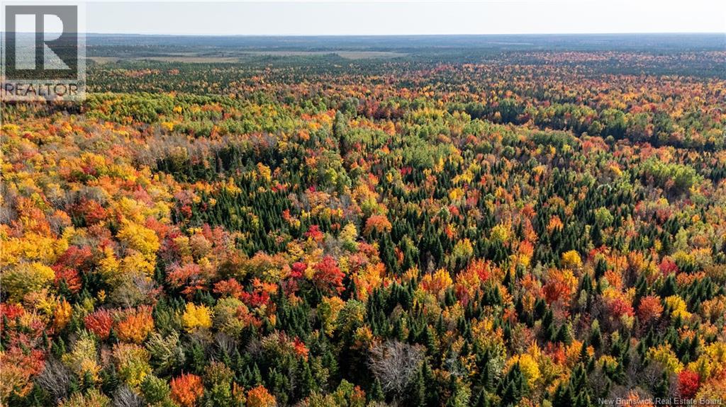
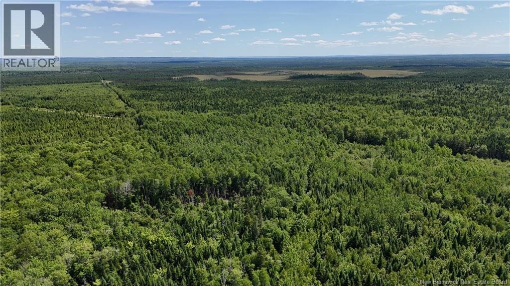
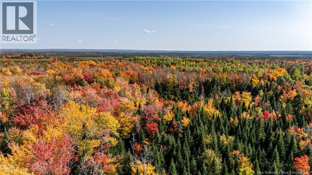
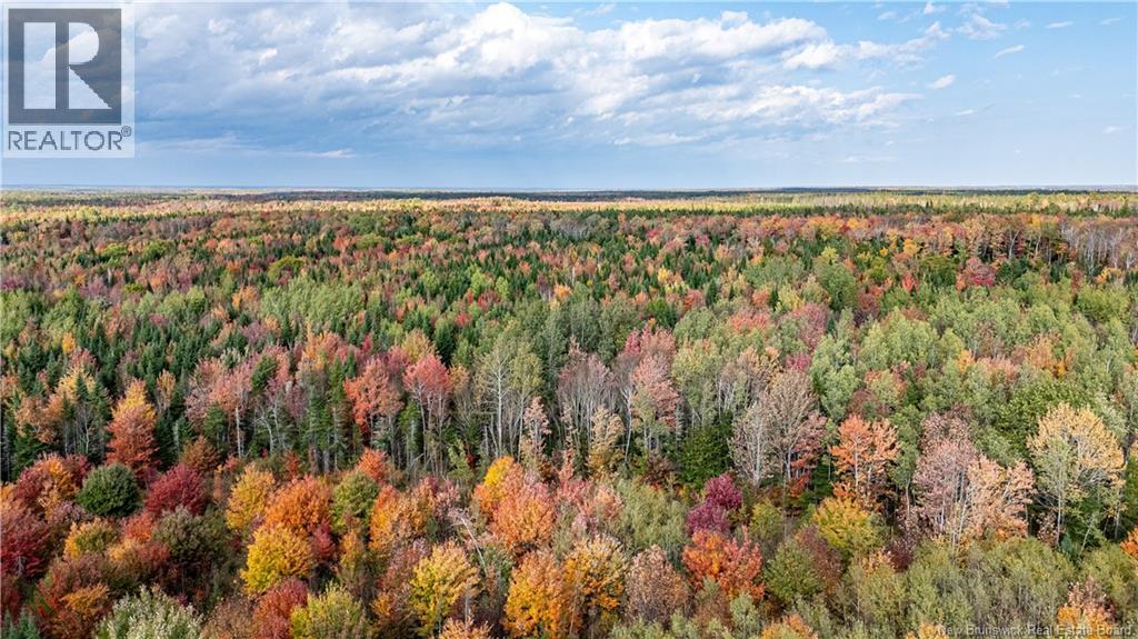
Land
1940 Village Des Cormier Road
Saint-Paul, NB
E4T 3H3

| Listed By | RE/MAX Quality Real Estate Inc. |
|---|---|
| Data Provided By | New Brunswick REALTORS® |
| MLS® Listing Number | NB131932 |
| Last Updated | May 25, 2026 |
| Property Type |
Land
More like this: |
|---|
Interested in obtaining the full price history for this property?
Contact us!Contact us! Our real estate professionals would be happy to provide a complete listing history with historical sold prices and dates.
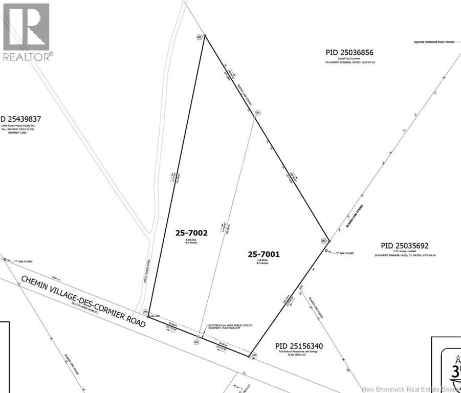
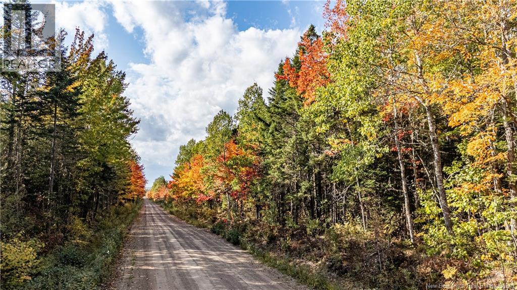
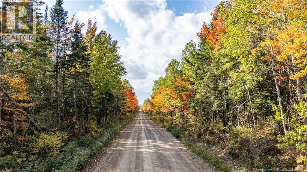
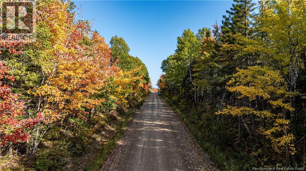
| Location Description | From Moncton, go north on the 490/McLaughlin Road. OR head north on Route 126. Once you reach Route 485 with signs for Saint Paul, turn in (left from Route 490, right from Route 126). Once you reach Village des Cormier / Cormier Village Road, go south. After a few minutes of driving, you will pass a driveway with a rusty green gate and about 6 pink flags hanging from it, this is a neighbouring lot. You will see the survey pins on the ground just past this driveway. |
|---|---|
| Municipal ID | 25501354 |
| Ownership Type | Freehold |
| Property Type | Vacant Land |
| Transaction Type | For sale |
| Utility Water | None |
|---|
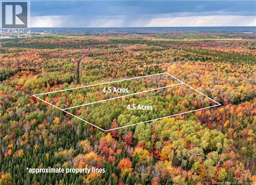
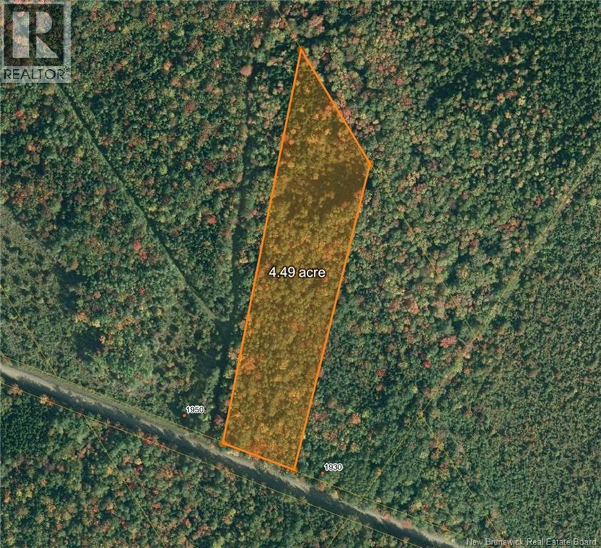
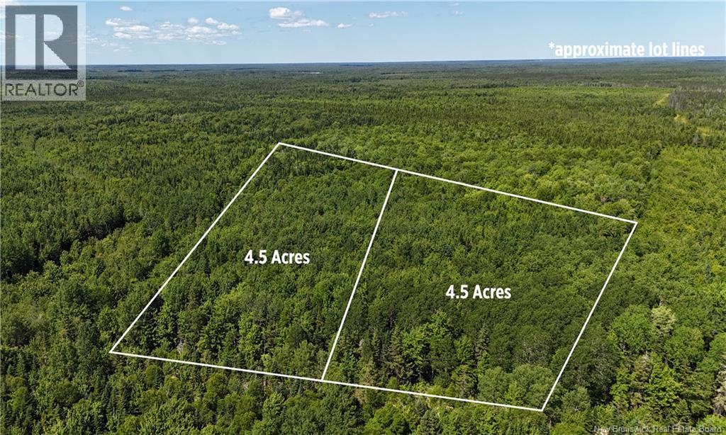
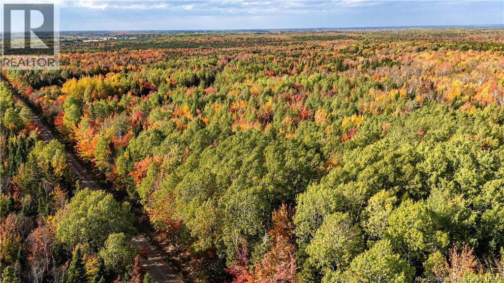
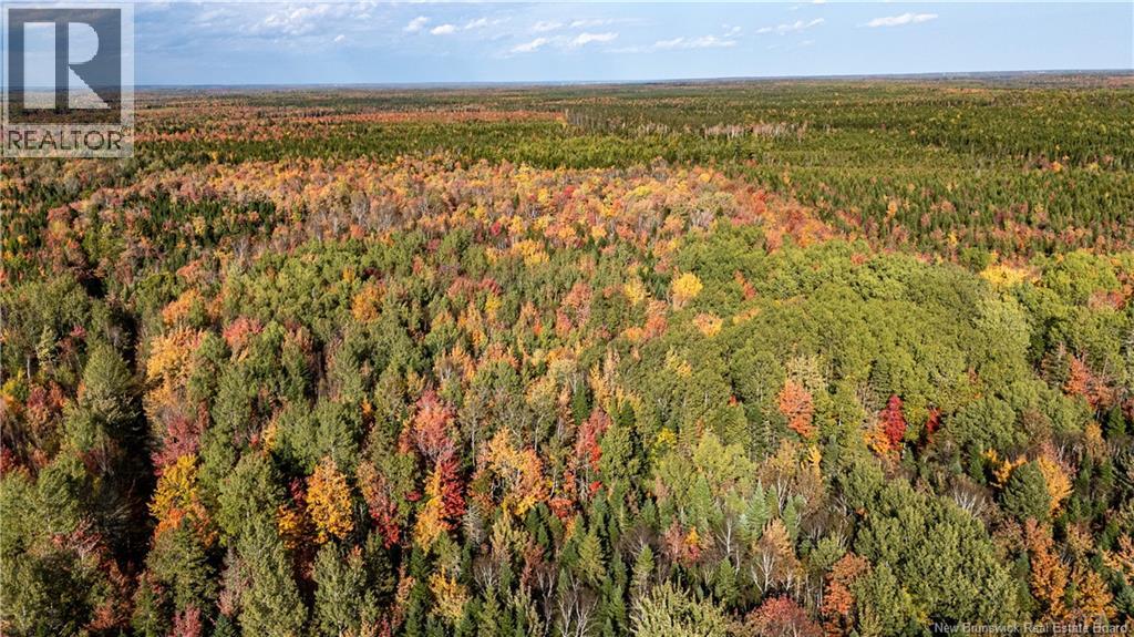
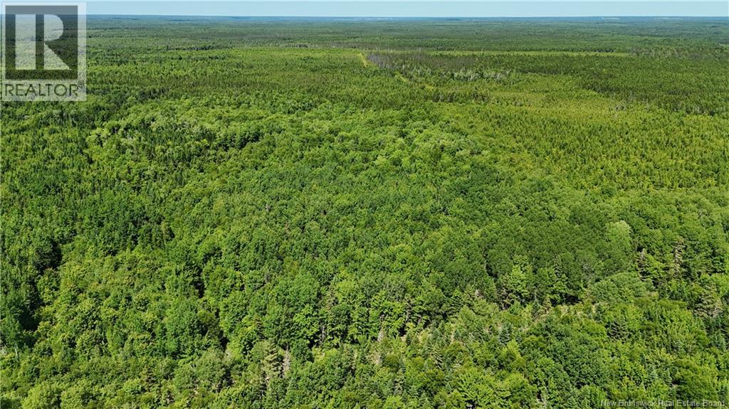
| Total Size | 4.5 acres |
|---|---|
| Access Type | Year-round access, Public Road |
| Acreage | Yes |
| Sewer | No sewage system |
| Size of Irregular Land | 4.5 |
The information contained on this site is based in whole or in part on information that is provided under copyright by the Toronto Regional Real Estate Board (TRREB) or by members of The Canadian Real Estate Association (CREA), who are responsible for its accuracy. TRREB and CREA reproduce and distribute this information as a service for their members and assume no responsibility for its accuracy. All information displayed is believed to be accurate but is not guaranteed and should be independently verified. No warranties or representations of any kind are made with respect to the accuracy of such information.
The information provided herein must only be used by consumers that have a bona fide interest in the purchase, sale, or lease of real estate and may not be used for any commercial purpose or any other purpose.
FREE ESTIMATES ARE COMING
Reserve Your Spot To Be Notified
Coming soon to select cities
in North America
(We'll never share your details)